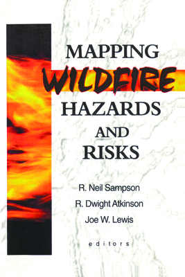
Mapping Wildfire Hazards and Risks offers practical ideas and perspectives for developing a Geographic Information System (GIS) to analyze and display information on wildfire. Including choice of modeling approach, social and environmental factors, techniques for predicting the effects of wildfire, plus maps, charts, tables, and formulas, this essential volume makes the process of building a GIS understandable and accessible.
Read More
Mapping Wildfire Hazards and Risks offers practical ideas and perspectives for developing a Geographic Information System (GIS) to analyze and display information on wildfire. Including choice of modeling approach, social and environmental factors, techniques for predicting the effects of wildfire, plus maps, charts, tables, and formulas, this essential volume makes the process of building a GIS understandable and accessible.
Read Less
Add this copy of Mapping Wildfire Hazards and Risks to cart. $127.41, new condition, Sold by Just one more Chapter rated 4.0 out of 5 stars, ships from Miramar, FL, UNITED STATES, published 2000 by Food Products Press.
Add this copy of Mapping Wildfire Hazards and Risks to cart. $130.98, good condition, Sold by Bonita rated 4.0 out of 5 stars, ships from Santa Clarita, CA, UNITED STATES, published 2000 by Food Products Press.
Add this copy of Mapping Wildfire Hazards and Risks to cart. $170.98, new condition, Sold by Bonita rated 4.0 out of 5 stars, ships from Santa Clarita, CA, UNITED STATES, published 2000 by Food Products Press.