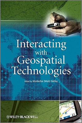
This book provides an introduction to HCI and usability aspects of Geographical Information Systems and Science. Its aim is to introduce the principles of Human-Computer Interaction (HCI); to discuss the special usability aspects of GIS which designers and developers need to take into account when developing such systems; and to offer a set of tried and tested frameworks, matrices and techniques that can be used within GIS projects. Geographical Information Systems and other applications of computerised mapping have gained ... Read More
This book provides an introduction to HCI and usability aspects of Geographical Information Systems and Science. Its aim is to introduce the principles of Human-Computer Interaction (HCI); to discuss the special usability aspects of GIS which designers and developers need to take into account when developing such systems; and to offer a set of tried and tested frameworks, matrices and techniques that can be used within GIS projects. Geographical Information Systems and other applications of computerised mapping have gained popularity in recent years. Today, computer-based maps are common on the World Wide Web, mobile phones, satellite navigation systems and in various desktop computing packages. The more sophisticated packages that allow the manipulation and analysis of geographical information are used in location decisions of new businesses, for public service delivery for planning decisions by local and central government. Many more applications exist and some estimate the number of people across the world that are using GIS in their daily work at several millions. However, many applications of GIS are hard to learn and to master. This is understandable, as until quite recently, the main focus of software vendors in the area of GIS was on the delivery of basic functionality and development of methods to present and manipulate geographical information using the available computing resources. As a result, little attention was paid to usability aspects of GIS. This is evident in many public and private systems where the terminology, conceptual design and structure are all centred around the engineering of GIS and not on the needs and concepts that are familiar to the user. This book covers a range of topics from the cognitive models of geographical representation, to interface design. It will provide the reader with frameworks and techniques that can be used and description of case studies in which these techniques have been used for computer mapping application. Read Less
Add this copy of Interacting with Geospatial Technologies to cart. $124.52, like new condition, Sold by GreatBookPrices rated 4.0 out of 5 stars, ships from Columbia, MD, UNITED STATES, published 2010 by Wiley.
Choose your shipping method in Checkout. Costs may vary based on destination.
Seller's Description:
Fine. Sewn binding. Paper over boards. 320 p. Contains: Unspecified, Tables, black & white, Maps, Figures. In Stock. 100% Money Back Guarantee. Brand New, Perfect Condition, allow 4-14 business days for standard shipping. To Alaska, Hawaii, U.S. protectorate, P.O. box, and APO/FPO addresses allow 4-28 business days for Standard shipping. No expedited shipping. All orders placed with expedited shipping will be cancelled. Over 3, 000, 000 happy customers.
Add this copy of Interacting With Geospatial Technologies to cart. $124.53, very good condition, Sold by anyswinggoes rated 5.0 out of 5 stars, ships from San Diego, CA, UNITED STATES, published 2010 by Wiley.
Choose your shipping method in Checkout. Costs may vary based on destination.
Seller's Description:
Used: Very Good. Size: 6x0x9; Clean and unmarked. Some minor cosmetic shelf wear. From a private collection. Very good condition. Comes from non smoking home.
Add this copy of Interacting with Geospatial Technologies to cart. $127.07, new condition, Sold by GreatBookPrices rated 4.0 out of 5 stars, ships from Columbia, MD, UNITED STATES, published 2010 by Wiley.
Choose your shipping method in Checkout. Costs may vary based on destination.
Seller's Description:
New. Sewn binding. Paper over boards. 320 p. Contains: Unspecified, Tables, black & white, Maps, Figures. In Stock. 100% Money Back Guarantee. Brand New, Perfect Condition, allow 4-14 business days for standard shipping. To Alaska, Hawaii, U.S. protectorate, P.O. box, and APO/FPO addresses allow 4-28 business days for Standard shipping. No expedited shipping. All orders placed with expedited shipping will be cancelled. Over 3, 000, 000 happy customers.